09/07/2024
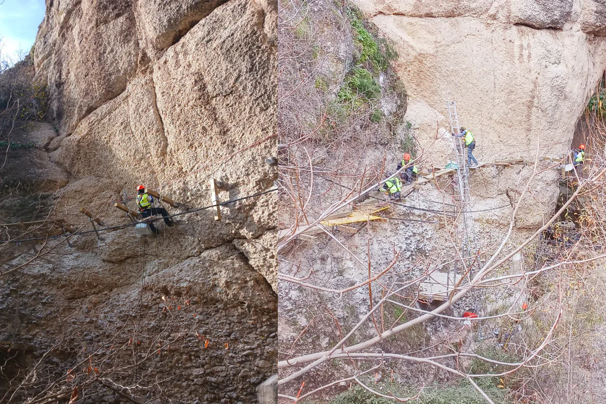
El Caminito del Rey has been placed at the international forefront in the research and management of safety in active tourism, thanks to a study developed by the universities of Granada and Jaén and the Geological and Mining Institute of Spain-CSIC. This project places the Caminito del Rey at the highest level of rockfall research in the international arena.
The County Council of Malaga and the joint venture that manages the Caminito del Rey, formed by Sando, Mundo and Salzillo, have promoted this study, which has allowed the development of a 3D digital model that has facilitated the research and offers precise georeferencing of all the points of the Caminito del Rey.
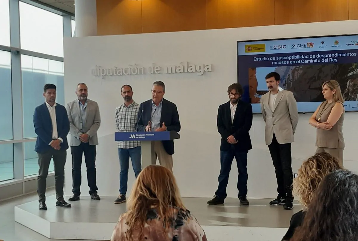
The presentation of this study was attended by Francisco Salado, President of the County Council of Málaga; Roberto Sarro, from the Spanish Geological and Mining Institute-Superior Council for Scientific Research (IGME-CSIC); Jorge Pedro Galve, from the University of Granada; José Luis Pérez, from the University of Jaén, and Francisco Vázquez, manager of the Caminito del Rey Joint Venture (Sando, Mundo and Salzillo).
“This work places us on a par with a select group of internationally renowned studies, such as those carried out in Yosemite National Park in the United States,” said Salado, who pointed out that this study is part of the Integrated Management System for the Safety and Health of the Caminito.
The results of this project are based on three key aspects: the creation of a high-resolution three-dimensional model, an unprecedented challenge to date due to the wide extension of the area investigated; the collection, processing and elaboration of high-quality geological information, driven by outstanding levels of technological innovation, which has allowed a deep understanding of the environment; and the implementation of specific adaptations of the most advanced technology worldwide in landslide simulation.
As indicated by Francisco Vázquez, manager of the joint venture and responsible for the complete restoration of the Caminito del Rey by Sando Construcción: “This research has improved the geological mapping and land cover of the area”. A Landslide Susceptibility Model has also been developed, which provides, among other results, the so-called ‘Landslide Susceptibility Maps’, covering both ‘Landslide Source Areas’ and ‘Potentially Unstable Points’.
The research has covered a wide range of methods, including rock mass characterisation using geomechanical stations, 2D fracture analysis, a point cloud discontinuity study, kinematic analysis of potential hot spots and simulation of specific landslides, among others.
This project is aligned with Sando’s innovation and Sustainability strategy, as well as with the Sustainable Development Goals, specifically SDG 9, which aims to build resilient infrastructure, promote sustainable industrialisation and foster innovation.
Don’t miss anything.