Cities have an extensive heritage of urban infrastructures that they must conserve, maintain and improve, applying sustainability principles and seeking to improve the residents’ quality of life in that population centre.
In particular, the road architecture that makes up cities is subdivided into roads for vehicular traffic and all pavements or surfaces dedicated to pedestrians. This section also includes all the elements on the city streets that regulate their use, such as pavement maintenance, urban lighting network or signage.
The problems and determining factors for keeping public roads in good condition are similar in large and small cities. They are a priority for the different authoritiess, as they are the backbone of our social life, commercial relations, etc. . In addition, historically, urban planning and, specifically, roads have been a determining factor in the evolution of cities, both for their social and economic growth.
In today’s society, sustainability and improving the quality of life of people living in cities is a priority, and this is reflected in the investment trends for road improvement, where the following axes can be highlighted:
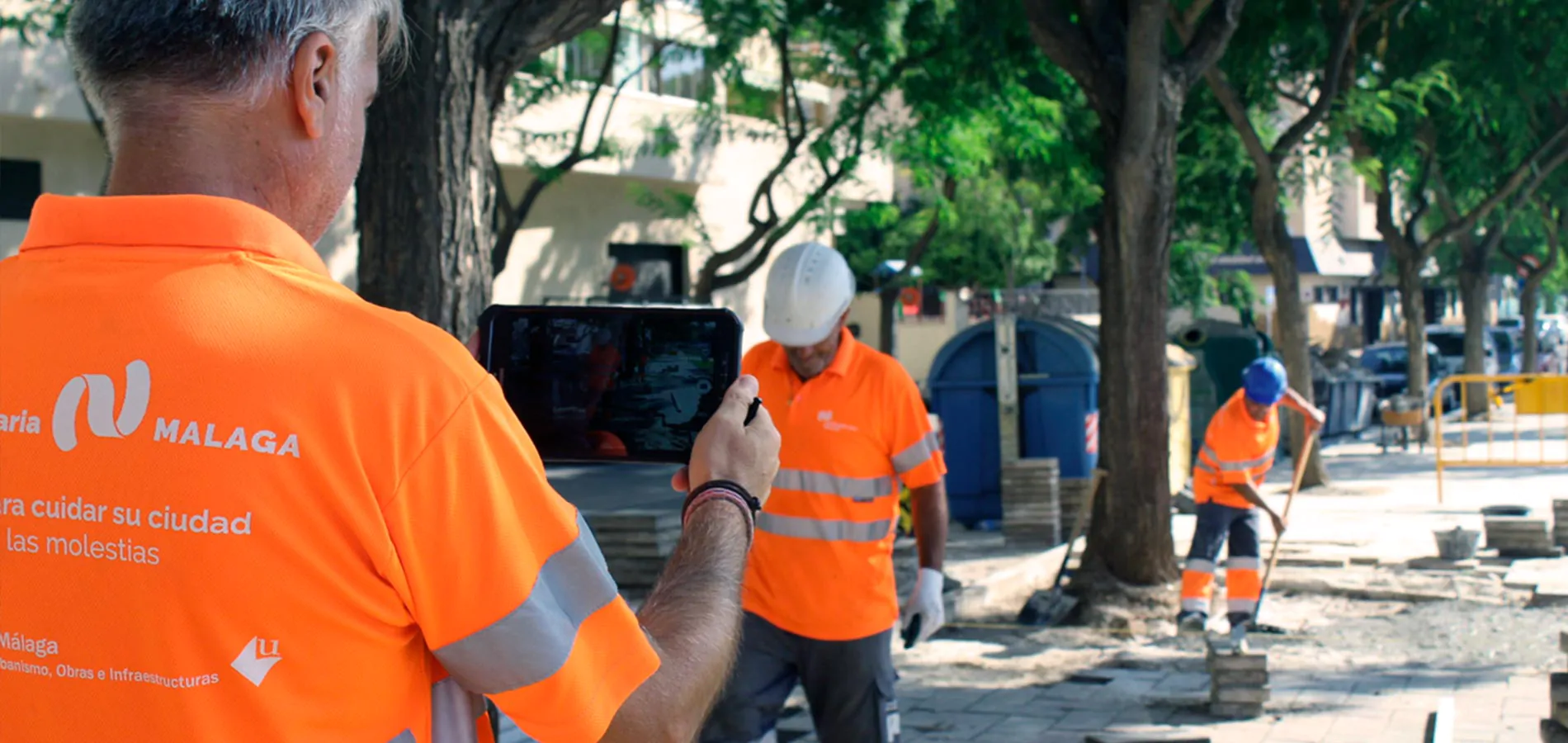
Conacon Sando, a company specialising in road improvement and maintenance works and services, manages the maintenance of pavements in cities such as Seville, Malaga, Santa Cruz de Tenerife, San Agustin de Guadalix and Bormujos. In these infrastructure maintenance contracts in Smart Cities it has opted for innovation and sustainability. In addition to these projects, there are specific energy efficiency projects for replacing luminaires with less polluting and sustainable ones that provide an alternative to public lighting.
Specifically, Conacon Sando implements the following actions:
In the field of R&D&i applied to pavement maintenance and, in short, to infrastructure maintenance in Smart Cities, we can highlight two of them:
The use of specific technology, such as Matterport, is also noteworthy. That is the standard for capturing 3D spaces using 360-degree cameras to make 3D surveys and scanning the point cloud that shapes the environment.

Paving and Lighting
Redesigning a sustainable identity for cities
Paving and Lighting
We implement solutions for improving and maintaining public roads to optimise the population’s quality of life and contribute to sustainable urban development.
Conacon Sando specialises in road architecture, offering conservation solutions to maintain road traffic and rehabilitate pavements or pedestrian surfaces Integrating sustainability criteria in our solutions, using recycled materials and semi-hot asphalt mixtures in paving, or installing LED technology or remote management in electrical lighting to contribute to energy efficiency. Likewise, in executing the projects, we install other elements on the city’s roads, such as signage, traffic regulators or street furniture.